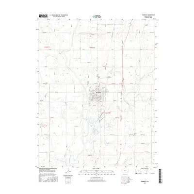
2015 Map of Humboldt
USGS Topo · Published 2015About this map
The Neosho River defines the western edge of Humboldt, where a dense grid of residential and commercial streets centers around Central St and Neosho St. This modern survey reveals a landscape deeply connected to its agricultural roots, with roads named after the states of the union, such as Connecticut Rd and California Rd, partitioning the Kansas prairie into a regular system of township sections.
Find a feature on this map
56 named features on this map. Tap any name to fly to it.
Don’t see what you’re looking for? This feature index may not catch every label — zoom into the map to look around manually.
Map Details
Editions of this 2015 Humboldt Map
This is the sole edition of this map. No revisions or reprints were ever made.
Other maps of this area

1886 · Fredonia
USGS Topo · 1:125,000

1886 · Iola
USGS Topo · 1:125,000

1893 · Iola
USGS Topo · 1:125,000

1894 · Fredonia
USGS Topo · 1:125,000

1904 · Iola
USGS Topo · 1:125,000

1938 · Altoona
USGS Topo · 1:62,500

1939 · Altoona
USGS Topo · 1:48,000

1943 · Altoona
USGS Topo · 1:62,500

1947 · Joplin
USGS Topo · 1:250,000

1949 · Joplin
USGS Topo · 1:250,000