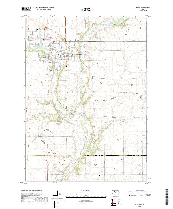
2022 Map of Humboldt
USGS Topo · Published 2022About this map
The confluence of the East Fork Des Moines River and the Des Moines River defines the landscape surrounding Humboldt and Dakota City. This 2022 survey details a region where river-valley terrain meets a highly structured grid of section lines and drainage systems like Drainage Ditch Number 33. The civic center is marked by the Humboldt County Courthouse, while the surrounding rural landscape is dotted with several significant burial grounds, including the Union Cem near the Humboldt Municipal Airport and the remote Pioneer Cem to the southeast. The route of the Three Rivers Trl provides a modern recreational corridor through the river valley, tracing paths that intersect older landmarks like Saint Marys Cem and Oakwood Cem.
Find a feature on this map
44 named features on this map. Tap any name to fly to it.
Don’t see what you’re looking for? This feature index may not catch every label — zoom into the map to look around manually.
Map Details
Editions of this 2022 Humboldt Map
This is the sole edition of this map. No revisions or reprints were ever made.
Historical Maps of Badger Township Through Time
3 maps found