2022 Map of Humboldt
USGS Topo · Published 2022About this map
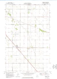
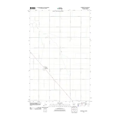
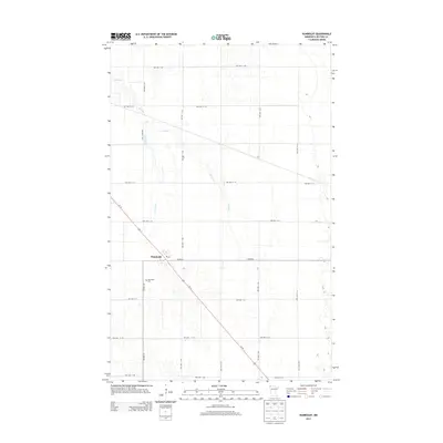
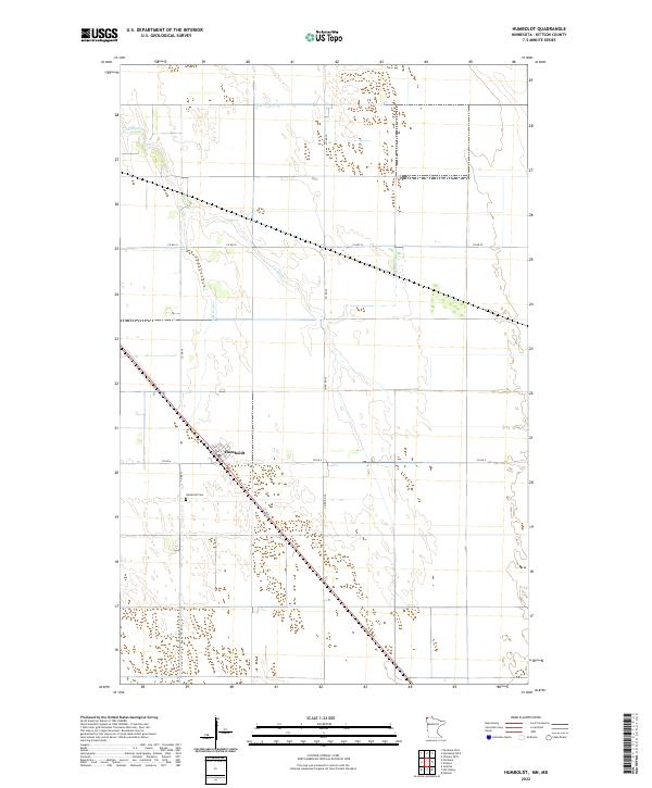
The agricultural plains of Kittson County define this region, where the small settlement of Humboldt serves as the primary hub along the diagonal path of the railway corridor. This 2022 survey illustrates a landscape of large-scale land management, organized by the Public Land Survey System into townships like t163n r50w and t164n r50w. The meandering Joe River and the narrow Salt Coulee provide the only natural breaks in the geometric grid of county roads. Local history is anchored at the Humboldt Cem located just west of the town center, while the street plan of the village itself is detailed down to the local naming of 1st Ave. This map is particularly useful for observing how modern drainage and transport networks follow the original pioneer section lines in the far reaches of Northwest Minnesota.
Find a feature on this map
16 named features on this map. Tap any name to fly to it.
Don’t see what you’re looking for? This feature index may not catch every label — zoom into the map to look around manually.
Map Details
Editions of this 2022 Humboldt Map
This is the sole edition of this map. No revisions or reprints were ever made.
Historical Maps of Humboldt Through Time
6 maps found