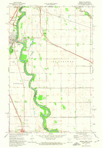
1972 Map of Pembina
USGS Topo · Published 1974About this map
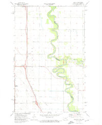
The Red River serves as the international and state boundary in this 1972 survey, winding northward past the riverfront community of Pembina. This region is a critical transit corridor where the Burlington Northern and Soo Line railroads converge at St Vincent Junction before crossing into Manitoba. The map documents the intricate border infrastructure at Noyes, including the Port of Entry US Customs and a nearby Weight Station.
Find a feature on this map
35 named features on this map. Tap any name to fly to it.
Don’t see what you’re looking for? This feature index may not catch every label — zoom into the map to look around manually.
Map Details
Editions of this 1972 Pembina Map
2 editions found
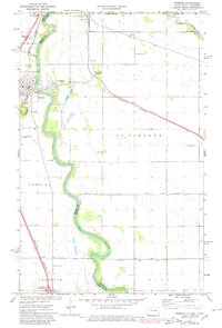
Other maps of this area

1939 · Pembina
USGS Topo · 1:62,500

1941 · Bathgate
USGS Topo · 1:62,500

1941 · Pembina
USGS Topo · 1:62,500

1952 · Thief River Falls
USGS Topo · 1:250,000

1956 · Thief River Falls
USGS Topo · 1:250,000

1957 · Thief River Falls
USGS Topo · 1:250,000

1967 · Thief River Falls
USGS Topo · 1:250,000
1970 · Bathgate SE
USGS Topo · 1:24,000
1970 · Bathgate NE
USGS Topo · 1:24,000
1972 · Joliette
USGS Topo · 1:24,000