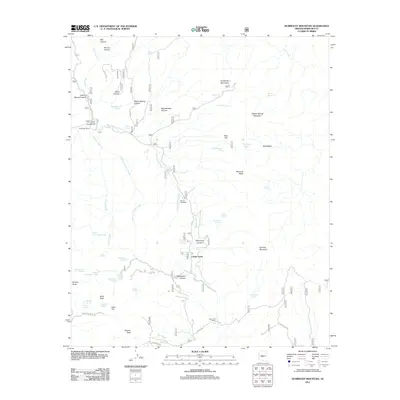
2011 Map of Humboldt Mountain
USGS Topo · Published 2011About this map
Humboldt Mountain and Willow Spring Mountain anchor this high-desert landscape in northern Maricopa County, where a network of seasonal washes and spring-fed canyons defines the terrain. The presence of Seven Springs Campground and the Seven Springs Wash indicates a long-standing reliance on these scarce water sources for both recreation and ranching. Historically significant cattle operations, including the Cartwright Ranch and Sears Kay Ranch, are situated along the drainage of Camp Creek and its tributaries.
Find a feature on this map
89 named features on this map. Tap any name to fly to it.
Don’t see what you’re looking for? This feature index may not catch every label — zoom into the map to look around manually.
Map Details
Editions of this 2011 Humboldt Mountain Map
This is the sole edition of this map. No revisions or reprints were ever made.
Other maps of this area

1887 · Verde
USGS Topo · 1:250,000

1892 · Verde
USGS Topo · 1:250,000

1929 · Turret Peak
USGS Topo · 1:125,000

1930 · Cave Creek
USGS Topo · 1:125,000

1933 · Turret Peak
USGS Topo · 1:125,000

1939 · Cave Creek
USGS Topo · 1:125,000

1954 · Holbrook
USGS Topo · 1:250,000

1954 · Mesa
USGS Topo · 1:250,000

1957 · Mesa
USGS Topo · 1:250,000

1957 · Holbrook
USGS Topo · 1:250,000