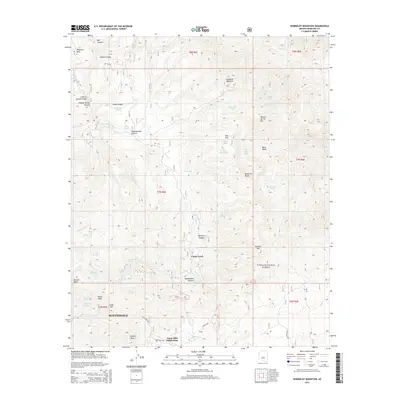
2014 Map of Humboldt Mountain
USGS Topo · Published 2014About this map
Humboldt Mountain and the surrounding high desert of the Tonto National Forest dominate this portrait of northern Maricopa County. The landscape is a network of complex drainages and named summits, where the rugged topography is punctuated by spring-fed canyons like Seven Springs and Mashakattee Canyon. While much of the area remains undeveloped forest land, the southern portion of the map shows the encroaching edge of Scottsdale and the residential layout of the Tonto Hills Subdivision.
Find a feature on this map
69 named features on this map. Tap any name to fly to it.
Don’t see what you’re looking for? This feature index may not catch every label — zoom into the map to look around manually.
Map Details
Editions of this 2014 Humboldt Mountain Map
This is the sole edition of this map. No revisions or reprints were ever made.
Other maps of this area

1887 · Verde
USGS Topo · 1:250,000

1892 · Verde
USGS Topo · 1:250,000

1929 · Turret Peak
USGS Topo · 1:125,000

1930 · Cave Creek
USGS Topo · 1:125,000

1933 · Turret Peak
USGS Topo · 1:125,000

1939 · Cave Creek
USGS Topo · 1:125,000

1954 · Holbrook
USGS Topo · 1:250,000

1954 · Mesa
USGS Topo · 1:250,000

1957 · Mesa
USGS Topo · 1:250,000

1957 · Holbrook
USGS Topo · 1:250,000