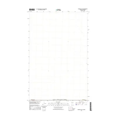
2016 Map of Humboldt OE N
USGS Topo · Published 2016About this map
The Canada / United States of America international border defines the primary geography of this 2016 survey, where the northern edge of Kittson Co, Minnesota, meets the Canadian province of Manitoba. This map captures a strictly rural landscape at the very limit of the American Midwest, characterized by a sparse network of section lines and water features. The absence of named settlements or major infrastructure within this specific quadrangle highlights the low-density, agricultural character of the Red River Valley region during the early twenty-first century. Genealogists and historians interested in the exact path of the international boundary will find the demarcated line between the two nations to be the central point of interest for this specific borderland area.
Find a feature on this map
3 named features on this map. Tap any name to fly to it.
Don’t see what you’re looking for? This feature index may not catch every label — zoom into the map to look around manually.
Map Details
Editions of this 2016 Humboldt OE N Map
This is the sole edition of this map. No revisions or reprints were ever made.
Other maps of this area

1939 · Pembina
USGS Topo · 1:62,500

1941 · Hallock
USGS Topo · 1:62,500

1941 · Pembina
USGS Topo · 1:62,500

1952 · Thief River Falls
USGS Topo · 1:250,000

1956 · Thief River Falls
USGS Topo · 1:250,000

1957 · Thief River Falls
USGS Topo · 1:250,000

1967 · Thief River Falls
USGS Topo · 1:250,000
1972 · Pembina
USGS Topo · 1:24,000
1974 · Humboldt
USGS Topo · 1:24,000
1974 · Orleans
USGS Topo · 1:24,000