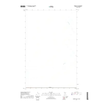
2019 Map of Humboldt OE N
USGS Topo · Published 2019About this map
Agricultural drainage and international boundaries define this northern borderland landscape. The quadrangle is marked by the presence of Harlow Drain and Main Drain, critical water management features that shape the surrounding terrain. Crossing the southernmost edge of the sheet is the international border with Canada, where the United States and Canadian territory meet along a surveyed line. The map primarily documents the sparse hydrographic network and grid-based land divisions characteristic of this high-latitude prairie region, reflecting the engineered nature of the water systems required to maintain the local environment during the late 2010s.
Find a feature on this map
3 named features on this map. Tap any name to fly to it.
Don’t see what you’re looking for? This feature index may not catch every label — zoom into the map to look around manually.
Map Details
Editions of this 2019 Humboldt OE N Map
This is the sole edition of this map. No revisions or reprints were ever made.
Other maps of this area

1939 · Pembina
USGS Topo · 1:62,500

1941 · Hallock
USGS Topo · 1:62,500

1941 · Pembina
USGS Topo · 1:62,500

1952 · Thief River Falls
USGS Topo · 1:250,000

1956 · Thief River Falls
USGS Topo · 1:250,000

1957 · Thief River Falls
USGS Topo · 1:250,000

1967 · Thief River Falls
USGS Topo · 1:250,000
1972 · Pembina
USGS Topo · 1:24,000
1974 · Humboldt
USGS Topo · 1:24,000
1974 · Orleans
USGS Topo · 1:24,000