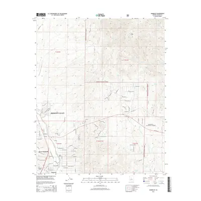
2014 Map of Humboldt
USGS Topo · Published 2014About this map
Prescott Valley and the adjacent community of Dewey-Humboldt anchor the lower elevations of this map, showing the residential expansion and historical settlement patterns of the Agua Fria River valley. The landscape is defined by the transition from these developed areas into the high-desert drainages of the Prescott National Forest. Evidence of the area's pioneer roots is found at the Henderson Cem and Humboldt Cem, which sit near the established townsites of Dewey and Humboldt.
Find a feature on this map
96 named features on this map. Tap any name to fly to it.
Don’t see what you’re looking for? This feature index may not catch every label — zoom into the map to look around manually.
Map Details
Editions of this 2014 Humboldt Map
This is the sole edition of this map. No revisions or reprints were ever made.
Other maps of this area

1887 · Prescott
USGS Topo · 1:250,000

1892 · Prescott
USGS Topo · 1:250,000

1903 · Bradshaw Mountains
USGS Topo · 1:125,000

1905 · Jerome
USGS Topo · 1:125,000

1944 · Mingus Mountain
USGS Topo · 1:62,500

1947 · Mingus Mtn
USGS Topo · 1:62,500

1947 · Mayer
USGS Topo · 1:62,500

1947 · Mt. Union
USGS Topo · 1:62,500

1947 · Prescott
USGS Topo · 1:62,500

1948 · Mt. Union
USGS Topo · 1:63,360