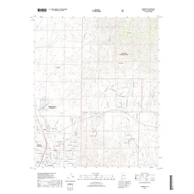
2018 Map of Humboldt
USGS Topo · Published 2018About this map
The Agua Fria River valley serves as the central corridor for this 2018 survey of Yavapai County, where the communities of Dewey-Humboldt and Prescott Valley meet. The landscape is defined by a transition from the drainage basins of Texas Gulch and Chaparral Gulch to the elevated terrain of the Prescott National Forest in the northeast. Genealogists and local historians will find the exact locations of the Humboldt Cem and Henderson Cem, alongside early ranching and water management features like Tex Canyon Tank and Yarber Springs. The map reveals a intricate network of modern residential development and forest service routes, such as Forest 323 Rte, illustrating the contemporary suburban and recreational character of this high-desert region.
Find a feature on this map
99 named features on this map. Tap any name to fly to it.
Don’t see what you’re looking for? This feature index may not catch every label — zoom into the map to look around manually.
Map Details
Editions of this 2018 Humboldt Map
This is the sole edition of this map. No revisions or reprints were ever made.
Other maps of this area

1887 · Prescott
USGS Topo · 1:250,000

1892 · Prescott
USGS Topo · 1:250,000

1903 · Bradshaw Mountains
USGS Topo · 1:125,000

1905 · Jerome
USGS Topo · 1:125,000

1944 · Mingus Mountain
USGS Topo · 1:62,500

1947 · Mingus Mtn
USGS Topo · 1:62,500

1947 · Mayer
USGS Topo · 1:62,500

1947 · Mt. Union
USGS Topo · 1:62,500

1947 · Prescott
USGS Topo · 1:62,500

1948 · Mt. Union
USGS Topo · 1:63,360