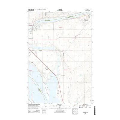
2014 Map of Humorist
USGS Topo · Published 2014About this map
Lake Wallula dominates the northern and western margins of this landscape, a result of the regional hydroelectric and navigation system that shaped the Columbia and Snake River confluence. The map details the transition from irrigated agricultural lands to riverside settlements like Burbank Heights and Burbank. Further south, the map identifies Villard Junction and Two Rivers, points that reflect the area's rail and water transport legacy. Numerous named islands, such as Strawberry Island, Casey Island, and Tanglefoot Island, dot the water, while the inland area is marked by water management features like the High Lift Canal and the Iowa Beef Processors Waste Pond. This map provides a detailed view of the infrastructure and land use in Franklin and Walla Walla counties in the early 21st century.
Find a feature on this map
62 named features on this map. Tap any name to fly to it.
Don’t see what you’re looking for? This feature index may not catch every label — zoom into the map to look around manually.
Map Details
Editions of this 2014 Humorist Map
This is the sole edition of this map. No revisions or reprints were ever made.
Other maps of this area

1915 · Wallulah
USGS Topo · 1:96,000

1917 · Pasco
USGS Topo · 1:125,000

1918 · Wallula
USGS Topo · 1:125,000

1953 · Walla Walla
USGS Topo · 1:250,000

1958 · Walla Walla
USGS Topo · 1:250,000

1964 · Wallula
USGS Topo · 1:24,000

1964 · Zangar Junction
USGS Topo · 1:24,000

1964 · Levey SW
USGS Topo · 1:24,000

1964 · Levey SE
USGS Topo · 1:24,000

1964 · Slater
USGS Topo · 1:24,000