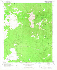
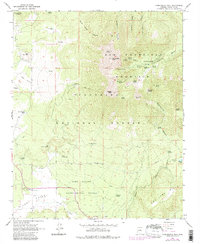
1966 Map of Humphreys Peak
USGS Topo · Published 1968About this map
The San Francisco Mountains dominate this 1966 topographic study, anchored by the highest point in Arizona, Humphreys Peak. The landscape reflects a specialized mix of recreation and research, featuring the Arizona Snow Bowl ski area and the Fort Valley Experimental Forest Station. The volcanic character of the terrain is evident in the Cinder Pits near Hochderffer Hills and the massive Inner Basin carved into the mountain's core. Water sources are critical in this high-elevation environment, documented through a network of isolated points like Big Leroux Spring, Bismarck Lake, and Philomena Spring. Historic land use is further marked by the Weatherford Trail and the presence of the Michelbach Ranch on the western edge of Hart Prairie.
Find a feature on this map
61 named features on this map. Tap any name to fly to it.
Don’t see what you’re looking for? This feature index may not catch every label — zoom into the map to look around manually.
Map Details
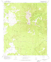
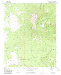
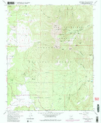
Editions of this 1966 Humphreys Peak Map
5 editions found
Other maps of this area

1886 · San Francisco Mtns
USGS Topo · 1:250,000

1891 · San Francisco Mtns
USGS Topo · 1:250,000

1894 · San Francisco Mtns
USGS Topo · 1:250,000

1899 · San Francisco Mtns
USGS Topo · 1:250,000

1908 · Flagstaff
USGS Topo · 1:125,000

1912 · Flagstaff
USGS Topo · 1:125,000

1947 · Flagstaff
USGS Topo · 1:250,000

1954 · Flagstaff
USGS Topo · 1:250,000

1958 · Flagstaff
USGS Topo · 1:250,000

1960 · Flagstaff
USGS Topo · 1:250,000