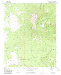
1966 Map of Humphreys Peak
USGS Topo · Published 1983About this map
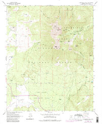
San Francisco Mountain dominates this survey, rising to its highest point at Humphreys Peak. The map documents a landscape defined by high-altitude volcanic terrain and early 1960s alpine recreation, centered on the Arizona Snow Bowl and its Ski Lift on the western slopes of Agassiz Peak. Lower elevations transition into the grassy expanse of Hart Prairie and Freidlein Prairie, where numerous water sources like Big Leroux Spring and Philomena Spring supported localized land use.
Find a feature on this map
58 named features on this map. Tap any name to fly to it.
Don’t see what you’re looking for? This feature index may not catch every label — zoom into the map to look around manually.
Map Details
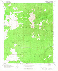
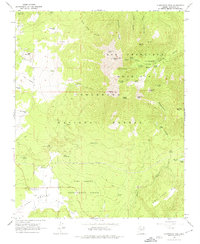
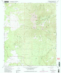
Editions of this 1966 Humphreys Peak Map
5 editions found
Other maps of this area

1886 · San Francisco Mtns
USGS Topo · 1:250,000

1891 · San Francisco Mtns
USGS Topo · 1:250,000

1894 · San Francisco Mtns
USGS Topo · 1:250,000

1899 · San Francisco Mtns
USGS Topo · 1:250,000

1908 · Flagstaff
USGS Topo · 1:125,000

1912 · Flagstaff
USGS Topo · 1:125,000

1947 · Flagstaff
USGS Topo · 1:250,000

1954 · Flagstaff
USGS Topo · 1:250,000

1958 · Flagstaff
USGS Topo · 1:250,000

1960 · Flagstaff
USGS Topo · 1:250,000