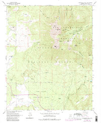
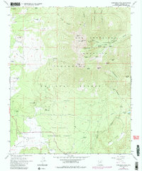
1966 Map of Humphreys Peak
USGS Topo · Published 1983About this map
Humphreys Peak stands as the highest point on this map, centering a dramatic alpine landscape within the San Francisco Mountains. This mid-century survey captures the recreational and scientific developments on the peaks, including the Arizona Snow Bowl with its Ski Lift and Jeep Trail access. The rugged volcanic terrain is marked by the presence of the Fort Valley Experimental Forest, where the Fort Valley Experimental Forest Station served as a hub for early silvicultural research in the Coconino National Forest.
Find a feature on this map
57 named features on this map. Tap any name to fly to it.
Don’t see what you’re looking for? This feature index may not catch every label — zoom into the map to look around manually.
Map Details
Editions of this 1966 Humphreys Peak Map
5 editions found
Other maps of this area

1886 · San Francisco Mtns
USGS Topo · 1:250,000

1891 · San Francisco Mtns
USGS Topo · 1:250,000

1894 · San Francisco Mtns
USGS Topo · 1:250,000

1899 · San Francisco Mtns
USGS Topo · 1:250,000

1908 · Flagstaff
USGS Topo · 1:125,000

1912 · Flagstaff
USGS Topo · 1:125,000

1947 · Flagstaff
USGS Topo · 1:250,000

1954 · Flagstaff
USGS Topo · 1:250,000

1958 · Flagstaff
USGS Topo · 1:250,000

1960 · Flagstaff
USGS Topo · 1:250,000