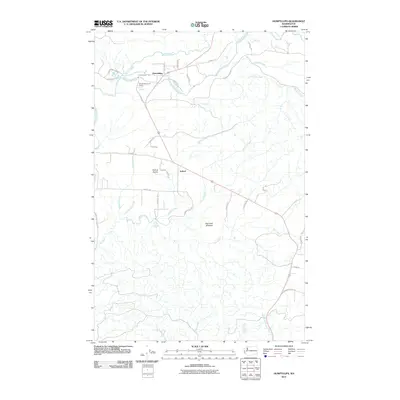
2011 Map of Humptulips
USGS Topo · Published 2011About this map
Humptulips sits at a strategic crossing where the Humptulips River meets Stevens Creek, serving as a focal point for this Grays Harbor County landscape. The area is defined by its logging and resource-based infrastructure, evidenced by the Humptulips Gravel Quarry and the winding course of the Polson Camp Rd. As the river moves south, it passes through the flatlands of Axford Prairie near the settlement of Axford, a region historically tied to the timber industry and river-bottom agriculture.
Find a feature on this map
42 named features on this map. Tap any name to fly to it.
Don’t see what you’re looking for? This feature index may not catch every label — zoom into the map to look around manually.
Map Details
Editions of this 2011 Humptulips Map
This is the sole edition of this map. No revisions or reprints were ever made.
Other maps of this area

1921 · Quinault Lake
USGS Topo · 1:62,500

1938 · Moclips
USGS Topo · 1:62,500

1941 · Moclips
USGS Topo · 1:62,500

1943 · Humptulips
USGS Topo · 1:62,500

1943 · Copalis Beach
USGS Topo · 1:250,000

1951 · Copalis Beach
USGS Topo · 1:250,000

1955 · Macafee Hill
USGS Topo · 1:62,500

1955 · Humptulips
USGS Topo · 1:62,500

1955 · Quinault Lake
USGS Topo · 1:62,500

1955 · Carlisle
USGS Topo · 1:24,000