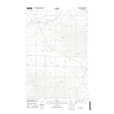
2014 Map of Humptulips
USGS Topo · Published 2014About this map
Humptulips and the settlement of Axford serve as the primary human centers in this timber-rich region of Grays Harbor County. The landscape is defined by the winding course of the Humptulips River and its numerous tributaries, including Stevens Creek and Hansen Cr. The transition from river valley to upland is marked by distinct topographical features like Axford Prairie and the expansive Big Creek Bottoms to the south.
Find a feature on this map
39 named features on this map. Tap any name to fly to it.
Don’t see what you’re looking for? This feature index may not catch every label — zoom into the map to look around manually.
Map Details
Editions of this 2014 Humptulips Map
This is the sole edition of this map. No revisions or reprints were ever made.
Other maps of this area

1921 · Quinault Lake
USGS Topo · 1:62,500

1938 · Moclips
USGS Topo · 1:62,500

1941 · Moclips
USGS Topo · 1:62,500

1943 · Humptulips
USGS Topo · 1:62,500

1943 · Copalis Beach
USGS Topo · 1:250,000

1951 · Copalis Beach
USGS Topo · 1:250,000

1955 · Macafee Hill
USGS Topo · 1:62,500

1955 · Humptulips
USGS Topo · 1:62,500

1955 · Quinault Lake
USGS Topo · 1:62,500

1955 · Carlisle
USGS Topo · 1:24,000