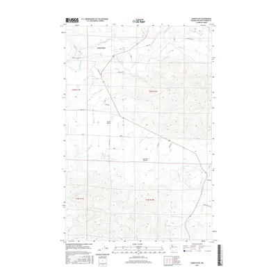
2017 Map of Humptulips
USGS Topo · Published 2017About this map
The Humptulips River and its dense network of tributaries, such as Stevens Creek and Fairchild Cr, carve through this landscape of the Olympic Peninsula. In the northern reaches, the community of Humptulips sits near the junction of Copalis Crossing Rd and the main highway artery. The map highlights the distinct physiographic features of the area, including the flat expanse of Axford Prairie and the low-lying Big Creek Bottoms. Local transport and access are defined by family and timber-related routes such as Larson Brothers Rd, Sudderth Rd, and Mcnutt Rd. To the south, the headwaters of the W Fork Hoquiam River emerge from the timbered hills, illustrating the divide between river systems that define the region's drainage and historical logging topography.
Find a feature on this map
32 named features on this map. Tap any name to fly to it.
Don’t see what you’re looking for? This feature index may not catch every label — zoom into the map to look around manually.
Map Details
Editions of this 2017 Humptulips Map
This is the sole edition of this map. No revisions or reprints were ever made.
Other maps of this area

1921 · Quinault Lake
USGS Topo · 1:62,500

1938 · Moclips
USGS Topo · 1:62,500

1941 · Moclips
USGS Topo · 1:62,500

1943 · Humptulips
USGS Topo · 1:62,500

1943 · Copalis Beach
USGS Topo · 1:250,000

1951 · Copalis Beach
USGS Topo · 1:250,000

1955 · Macafee Hill
USGS Topo · 1:62,500

1955 · Humptulips
USGS Topo · 1:62,500

1955 · Quinault Lake
USGS Topo · 1:62,500

1955 · Carlisle
USGS Topo · 1:24,000