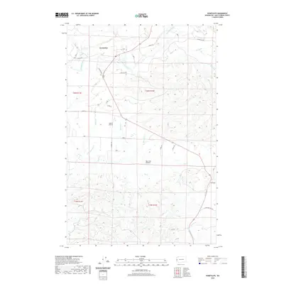
2020 Map of Humptulips
USGS Topo · Published 2020About this map
The Humptulips River carves through the timberlands of Grays Harbor County, anchoring a landscape where river valleys meet the rising coastal hills. Near the northern bend of the river, the settlement of Humptulips serves as a focal point for a network of rural routes, including E Humptulips Rd and McNutt Rd. Further south, the terrain levels into the open reaches of Axford Prairie and the low-lying Big Creek Bottoms, illustrating the transition from dense drainage basins to alluvial flats. Numerous family-named roads like Larson Brothers Rd and Sudderth Rd trace the paths of local landholdings and historic access ways. The intricate network of waterways, from W Fork Hoquiam River to Mopang Cr, highlights the region's complex hydrological profile, essential for the local ecology and legacy of the timber industry.
Find a feature on this map
33 named features on this map. Tap any name to fly to it.
Don’t see what you’re looking for? This feature index may not catch every label — zoom into the map to look around manually.
Map Details
Editions of this 2020 Humptulips Map
This is the sole edition of this map. No revisions or reprints were ever made.
Other maps of this area

1921 · Quinault Lake
USGS Topo · 1:62,500

1938 · Moclips
USGS Topo · 1:62,500

1941 · Moclips
USGS Topo · 1:62,500

1943 · Humptulips
USGS Topo · 1:62,500

1943 · Copalis Beach
USGS Topo · 1:250,000

1951 · Copalis Beach
USGS Topo · 1:250,000

1955 · Macafee Hill
USGS Topo · 1:62,500

1955 · Humptulips
USGS Topo · 1:62,500

1955 · Quinault Lake
USGS Topo · 1:62,500

1955 · Carlisle
USGS Topo · 1:24,000