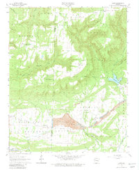
1963 Map of Hunt
USGS Topo · Published 1981About this map
Industrial extraction and protected wilderness meet in this 1963 survey of the Johnson and Franklin County line. Large-scale earthmoving is evident at the Utah Strip Mine and the adjacent Strip Mine, where the landscape is starkly transformed compared to the surrounding Ozark National Forest. The topography is dominated by ridges like Chinquapin Ridge and the heights of Younger Knob, which is crowned by the Mountain Top Lookout Tower.
Find a feature on this map
50 named features on this map. Tap any name to fly to it.
Don’t see what you’re looking for? This feature index may not catch every label — zoom into the map to look around manually.
Map Details
Editions of this 1963 Hunt Map
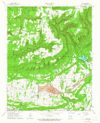
2 editions found
Other maps of this area

1879 · Cravens
USGS Topo · 1:62,500

1887 · Magazine Mountain #1
USGS Topo · 1:62,500

1887 · Magazine Mountain #2
USGS Topo · 1:62,500

1887 · Watalula
USGS Topo · 1:62,500

1887 · Magazine Mountain
USGS Topo · 1:62,500

1890 · Magazine Mountain
USGS Topo · 1:125,000

1906 · Batson
USGS Topo · 1:62,500

1939 · Watalula
USGS Topo · 1:62,500

1956 · Russellville
USGS Topo · 1:250,000

1961 · Coal Hill
USGS Topo · 1:24,000