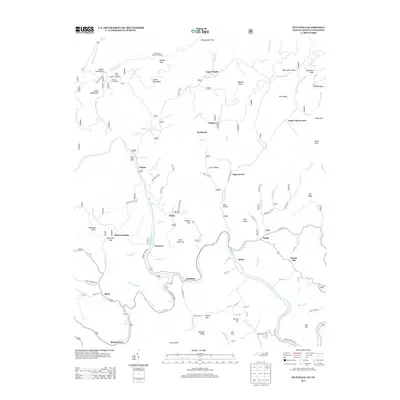
2013 Map of Huntdale
USGS Topo · Published 2013About this map
The Nolichucky River and N Toe River define the lower elevations of this terrain near the North Carolina and Tennessee border. Small settlements like Huntdale and Tipton Hill occupy the river valleys, connected by winding mountain roads such as Hunting Dale Rd and State Rd 1312. High above the riverbanks, the Unaka Mountains dominate the western landscape, traversed by the Appalachian Trl near Indian Grave Gap. This area is characterized by isolated communities and named features like Valhalla Dome and Elkwallow Knob. In the north, Upper Poplar and Richlands sit along the creek beds, while the eastern section features the community of Pigeonroost. Landmarks such as the Beauty Spot Observation Spot and Poplar Boat Ramp highlight a landscape deeply tied to both the high ridges and the river's edge.
Find a feature on this map
98 named features on this map. Tap any name to fly to it.
Don’t see what you’re looking for? This feature index may not catch every label — zoom into the map to look around manually.
Map Details
Editions of this 2013 Huntdale Map
This is the sole edition of this map. No revisions or reprints were ever made.
Other maps of this area

1891 · Roan Mountain
USGS Topo · 1:125,000

1894 · Roan Mountain
USGS Topo · 1:125,000

1900 · Mount Mitchell
USGS Topo · 1:125,000

1902 · Mount Mitchell
USGS Topo · 1:125,000

1904 · Roan Mountain
USGS Topo · 1:125,000

1934 · Micaville
USGS Topo · 1:24,000

1934 · Bakersville
USGS Topo · 1:24,000

1934 · Iron Mtn Gap
USGS Topo · 1:24,000

1935 · Chestoa
USGS Topo · 1:24,000

1935 · Burnsville
USGS Topo · 1:24,000