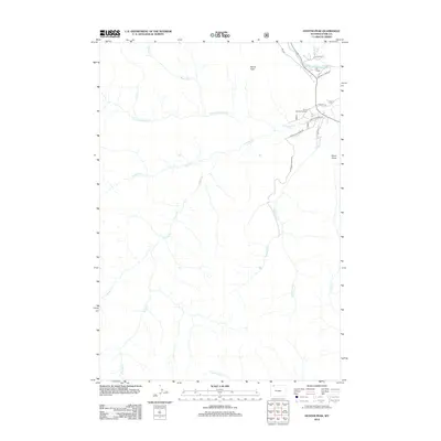
2012 Map of Hunter Peak
USGS Topo · Published 2012About this map
The Clarks Fork Yellowstone River flows through the northern reaches of this Wyoming landscape, defining a corridor of activity that includes the Orr Ranch and the winding Crandall Park Ln. In this part of Park County, the terrain is dominated by high elevations and deep drainage systems, anchored by Hunter Peak and the prominent Hurricane Mesa Rd to the east.
Find a feature on this map
24 named features on this map. Tap any name to fly to it.
Don’t see what you’re looking for? This feature index may not catch every label — zoom into the map to look around manually.
Map Details
Editions of this 2012 Hunter Peak Map
This is the sole edition of this map. No revisions or reprints were ever made.
Other maps of this area

1896 · Crandall Creek
USGS Topo · 1:125,000

1899 · Crandall
USGS Topo · 1:125,000

1955 · Cody
USGS Topo · 1:250,000

1956 · Sunlight Peak
USGS Topo · 1:62,500

1956 · Beartooth Butte
USGS Topo · 1:62,500

1956 · Pilot Peak
USGS Topo · 1:62,500

1956 · Dead Indian Peak
USGS Topo · 1:62,500

1958 · Cody
USGS Topo · 1:250,000

1962 · Cody
USGS Topo · 1:250,000

1980 · Cody
USGS Topo · 1:100,000