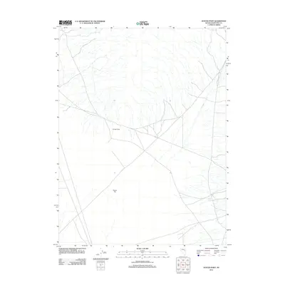
2012 Map of Hunter Point
USGS Topo · Published 2012About this map
Hunter Point dominates this high-desert landscape in White Pine County, rising above the expansive Hunter Flat. This 2012 USGS survey illustrates the essential infrastructure required for land management and ranching in a dry environment, where the presence of the Hunter Tank suggests a critical water resource for livestock or wildlife. The map captures a transition in modern land use, showing the intersection of local transportation via Co Rd 19 with the natural topography. The sparse distribution of named features highlights the solitude of this Great Basin terrain, emphasizing the importance of specific landmarks and water sources in an otherwise open stretch of Nevada.
Find a feature on this map
4 named features on this map. Tap any name to fly to it.
Don’t see what you’re looking for? This feature index may not catch every label — zoom into the map to look around manually.
Map Details
Editions of this 2012 Hunter Point Map
This is the sole edition of this map. No revisions or reprints were ever made.
Other maps of this area

1956 · Ely
USGS Topo · 1:250,000

1959 · Ely
USGS Topo · 1:250,000
1962 · Hunter Point
USGS Topo · 1:24,000

1963 · Ely
USGS Topo · 1:250,000

1982 · White Sage Well
USGS Topo · 1:24,000
1982 · Cow Camp
USGS Topo · 1:24,000
1982 · Franks Well
USGS Topo · 1:24,000
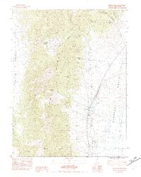
1982 · Steptoe Ranch
USGS Topo · 1:24,000
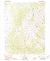
1982 · Telegraph Peak
USGS Topo · 1:24,000
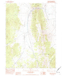
1982 · Egan Canyon
USGS Topo · 1:24,000