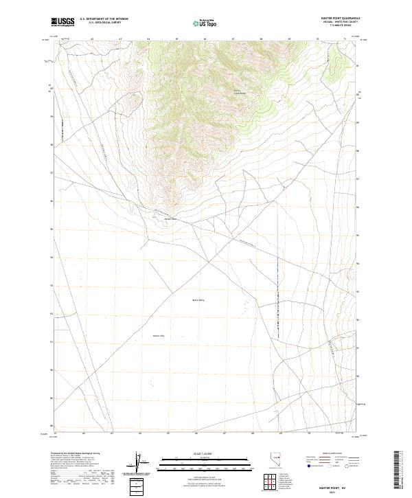
2021 Map of Hunter Point
USGS Topo · Published 2021About this map
Butte Valley and the southern slopes of the Cherry Creek Range dominate this interior Nevada landscape within White Pine County. The settlement of Hunter Point sits at a geographic transition point between the higher elevations and the wide expanse of Hunter Flat to the south. This 2021 topographic record reveals a sparse infrastructure typical of the Great Basin, where primary access is maintained via White Pine Co Road 19. The map provides precise documentation of township and range boundaries, including sections of T21N R61E and T22N R61E, which delineate the public land survey system across this high-desert basin and range environment.
Find a feature on this map
11 named features on this map. Tap any name to fly to it.
Don’t see what you’re looking for? This feature index may not catch every label — zoom into the map to look around manually.
Map Details
Editions of this 2021 Hunter Point Map
This is the sole edition of this map. No revisions or reprints were ever made.
Other maps of this area

1956 · Ely
USGS Topo · 1:250,000

1959 · Ely
USGS Topo · 1:250,000
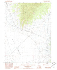
1962 · Hunter Point
USGS Topo · 1:24,000

1963 · Ely
USGS Topo · 1:250,000

1982 · White Sage Well
USGS Topo · 1:24,000
1982 · Cow Camp
USGS Topo · 1:24,000
1982 · Franks Well
USGS Topo · 1:24,000
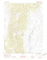
1982 · Steptoe Ranch
USGS Topo · 1:24,000
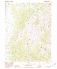
1982 · Telegraph Peak
USGS Topo · 1:24,000
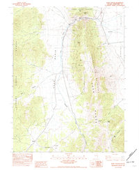
1982 · Egan Canyon
USGS Topo · 1:24,000