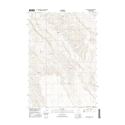
2017 Map of Hunters Creek
USGS Topo · Published 2017About this map
Hunters Reservoir and the nearby Jones Reservoir serve as central water sources in this dry Carbon County landscape. The terrain is defined by a network of drainage systems, including the prominent Weatherman Draw and Little Cottonwood Draw, which cut through the high plains. Movement through this section of the Montana borderlands is dictated by seasonal watercourses like Cottonwood Cr and Hunters Cr, which follow the natural contours of the land toward Castle Coulee. This 2017 survey reveals a landscape largely shaped by grazing and water management, where named passes like Bobcat Pass and isolated roads like Cottonwood Rd provide the only reliable access through the township and range grids.
Find a feature on this map
19 named features on this map. Tap any name to fly to it.
Don’t see what you’re looking for? This feature index may not catch every label — zoom into the map to look around manually.
Map Details
Editions of this 2017 Hunters Creek Map
This is the sole edition of this map. No revisions or reprints were ever made.
Other maps of this area

1954 · Billings
USGS Topo · 1:250,000

1955 · Cody
USGS Topo · 1:250,000

1957 · Billings
USGS Topo · 1:250,000

1958 · Billings
USGS Topo · 1:250,000

1958 · Cody
USGS Topo · 1:250,000

1962 · Cody
USGS Topo · 1:250,000

1966 · Elk Basin
USGS Topo · 1:24,000

1966 · Elk Basin NW
USGS Topo · 1:24,000

1966 · Deaver Reservoir
USGS Topo · 1:24,000

1969 · Warren
USGS Topo · 1:24,000