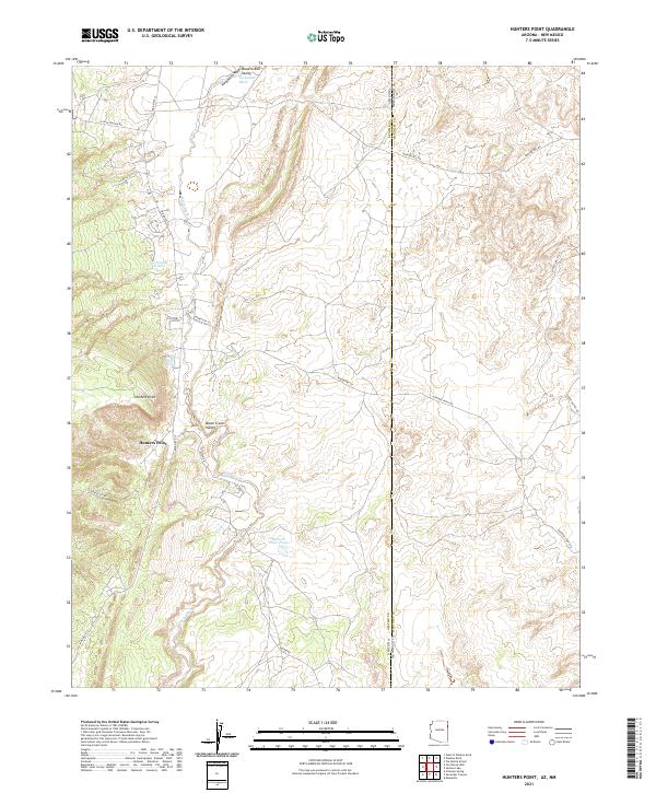
2021 Map of Hunters Point
USGS Topo · Published 2021About this map
Hunters Point serves as the focal point of this landscape, situated along the border where Apache County, Arizona and McKinley County, New Mexico meet. The geography is defined by the significant drainage of Black Creek and the broader Black Creek Valley, which runs through the center of the survey. The presence of Hunters Point Spring, Tse Notahs Pond, and Hunters Point Pond indicates the importance of managed water resources in this arid region.
Find a feature on this map
31 named features on this map. Tap any name to fly to it.
Don’t see what you’re looking for? This feature index may not catch every label — zoom into the map to look around manually.
Map Details
Editions of this 2021 Hunters Point Map
This is the sole edition of this map. No revisions or reprints were ever made.
Other maps of this area

1886 · Wingate
USGS Topo · 1:250,000

1886 · Fort Defiance
USGS Topo · 1:250,000

1892 · Fort Defiance
USGS Topo · 1:250,000

1892 · Wingate
USGS Topo · 1:250,000

1954 · Gallup
USGS Topo · 1:250,000

1955 · Zith-Tusayan Butte 4 NW
USGS Topo · 1:24,000

1955 · Zith-Tusayan Butte 4 NE
USGS Topo · 1:24,000

1958 · Gallup
USGS Topo · 1:250,000

1959 · Gallup
USGS Topo · 1:250,000

1962 · Gallup
USGS Topo · 1:250,000
Featured Places
- Fort Defiance Agency
- Eastern Navajo Agency, NM
- Hunters Point, Fort Defiance Agency
- McKinley County, NM
- Apache County, AZ