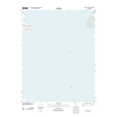
2012 Map of Hunters Point
USGS Topo · Published 2012About this map
Hunters Point dominates the western shoreline in this modern topographic survey, showing the industrial and maritime layout of the San Francisco waterfront. The map documents the extensive maritime infrastructure of the early 21st century, including Pier 94, Pier 96, and Pier 98, alongside the protected waters of India Basin and the Lash Lighter Basin. The street grid around the point is clearly defined, featuring thoroughfares like Innes Ave, Crisp Rd, and Spear Ave.
Find a feature on this map
20 named features on this map. Tap any name to fly to it.
Don’t see what you’re looking for? This feature index may not catch every label — zoom into the map to look around manually.
Map Details
Editions of this 2012 Hunters Point Map
This is the sole edition of this map. No revisions or reprints were ever made.
Other maps of this area

1892 · San Mateo
USGS Topo · 1:62,500

1895 · San Francisco
USGS Topo · 1:62,500

1896 · San Mateo
USGS Topo · 1:62,500

1897 · Concord
USGS Topo · 1:62,500

1899 · San Francisco
USGS Topo · 1:62,500

1899 · Haywards
USGS Topo · 1:62,500

1899 · San Mateo
USGS Topo · 1:62,500

1915 · San Mateo
USGS Topo · 1:62,500

1915 · Haywards
USGS Topo · 1:62,500

1915 · Concord
USGS Topo · 1:62,500