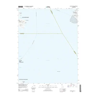
2015 Map of Hunters Point
USGS Topo · Published 2015About this map
Point Avisadero and the industrial waterfront of Hunters Point anchor the western shore of the bay in this coastal survey. The map details the complex maritime infrastructure of the early 21st century, including the Lash Lighter Basin and India Basin, as well as the specialized street grid serving the point with names like Fisher Ave and Donahue St. Most of the area is defined by the open waters of San Francisco Bay, marked by deep-water navigation paths like the Oyster Point Channel and the San Bruno Channel. On the opposite shore, the residential and parkland layout of Bay Farm Island in Alameda provides a clear contrast to the industrial character of the city side. To the south, the massive footprint of the San Francisco International Airport represents the modern transportation hub of South San Francisco.
Find a feature on this map
31 named features on this map. Tap any name to fly to it.
Don’t see what you’re looking for? This feature index may not catch every label — zoom into the map to look around manually.
Map Details
Editions of this 2015 Hunters Point Map
This is the sole edition of this map. No revisions or reprints were ever made.
Other maps of this area

1892 · San Mateo
USGS Topo · 1:62,500

1895 · San Francisco
USGS Topo · 1:62,500

1896 · San Mateo
USGS Topo · 1:62,500

1897 · Concord
USGS Topo · 1:62,500

1899 · San Francisco
USGS Topo · 1:62,500

1899 · Haywards
USGS Topo · 1:62,500

1899 · San Mateo
USGS Topo · 1:62,500

1915 · San Mateo
USGS Topo · 1:62,500

1915 · Haywards
USGS Topo · 1:62,500

1915 · Concord
USGS Topo · 1:62,500