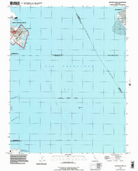
1993 Map of Hunters Point
USGS Topo · Published 1997About this map
Hunters Point and the adjacent U.S. Naval Reservation dominate the industrial shoreline of San Francisco in this late twentieth-century record. The map details a landscape of specialized maritime infrastructure, from the Lash Lighter Basin to the piers of India Basin. These features reflect a legacy of naval operations and shipping along the western edge of San Francisco Bay.
Find a feature on this map
31 named features on this map. Tap any name to fly to it.
Don’t see what you’re looking for? This feature index may not catch every label — zoom into the map to look around manually.
Map Details
Editions of this 1993 Hunters Point Map
This is the sole edition of this map. No revisions or reprints were ever made.
Other maps of this area

1892 · San Mateo
USGS Topo · 1:62,500

1895 · San Francisco
USGS Topo · 1:62,500

1896 · San Mateo
USGS Topo · 1:62,500

1897 · Concord
USGS Topo · 1:62,500

1899 · San Francisco
USGS Topo · 1:62,500

1899 · Haywards
USGS Topo · 1:62,500

1899 · San Mateo
USGS Topo · 1:62,500

1915 · San Mateo
USGS Topo · 1:62,500

1915 · Haywards
USGS Topo · 1:62,500

1915 · Concord
USGS Topo · 1:62,500