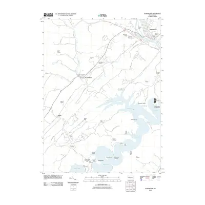
2010 Map of Huntingdon
USGS Topo · Published 2010About this map
The Juniata River flows through the borough of Huntingdon in this 2010 survey, serving as a geographic anchor for the region's historical developments. The map reveals a complex water management landscape, including the Huntingdon Smithfield Dam and the larger Raystown Dam to the south. This newer impoundment created the expansive Salmon Hole and submerged portions of the valley, while the Old Raystown Dam remains as a visible underwater or shoreline trace of earlier infrastructure.
Find a feature on this map
71 named features on this map. Tap any name to fly to it.
Don’t see what you’re looking for? This feature index may not catch every label — zoom into the map to look around manually.
Map Details
Editions of this 2010 Huntingdon Map
This is the sole edition of this map. No revisions or reprints were ever made.
Other maps of this area

1901 · Huntingdon
USGS Topo · 1:62,500

1904 · Huntingdon
USGS Topo · 1:62,500

1919 · Menno
USGS Topo · 1:62,500

1922 · Mt Union
USGS Topo · 1:48,000

1923 · Tyrone
USGS Topo · 1:62,500

1924 · Mt. Union
USGS Topo · 1:62,500

1929 · Tyrone
USGS Topo · 1:48,000

1933 · Tyrone
USGS Topo · 1:62,500

1935 · Allensville
USGS Topo · 1:62,500

1938 · Allensville
USGS Topo · 1:62,500
Featured Places
- Huntingdon, PA
- Juniata Township, PA
- McConnellstown, Walker Township
- Smithfield Township, PA
- Henderson Township, PA