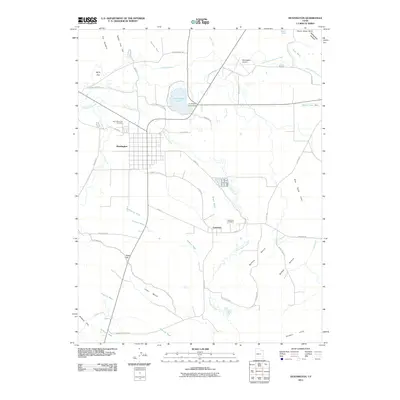
2011 Map of Huntington
USGS Topo · Published 2011About this map
Huntington serves as the primary hub in this central Emery County landscape, where the grid of the town sits between the waters of Huntington Creek and the surrounding high desert terrain. The agricultural character of the region is defined by an extensive network of irrigation, including the Cleveland Canal and Mammoth Canal, which draw water across thirsty benches like Buffalo Bench and Level Bench. These engineering works were essential for sustaining life and industry in the arid flats near the smaller settlement of Lawrence.
Find a feature on this map
50 named features on this map. Tap any name to fly to it.
Don’t see what you’re looking for? This feature index may not catch every label — zoom into the map to look around manually.
Map Details
Editions of this 2011 Huntington Map
This is the sole edition of this map. No revisions or reprints were ever made.
Other maps of this area

1885 · Manti
USGS Topo · 1:250,000

1886 · Price River
USGS Topo · 1:250,000

1895 · Manti
USGS Topo · 1:250,000

1896 · Price River
USGS Topo · 1:250,000

1923 · Castle Dale
USGS Topo · 1:62,500

1923 · Hiawatha
USGS Topo · 1:62,500

1925 · Castle Dale
USGS Topo · 1:62,500

1925 · Hiawatha
USGS Topo · 1:62,500

1956 · Price
USGS Topo · 1:250,000

1960 · Price
USGS Topo · 1:250,000