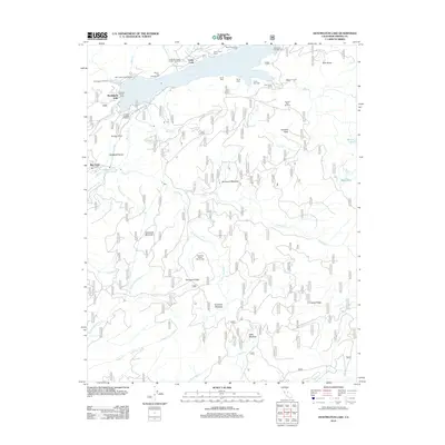
2012 Map of Huntington Lake
USGS Topo · Published 2012About this map
Huntington Lake serves as the central focal point for this High Sierra recreation and industrial landscape, where seasonal resorts and youth camps dot the northern shoreline. Established camps such as Camp Oljato, Camp Kern, and the Gold Arrow Camp indicate the area's long-standing role as a summer destination. Near the western dam, the settlement of Big Creek sits below Kerckhoff Dome, marking the hub of the region's hydroelectric and utility infrastructure.
Find a feature on this map
128 named features on this map. Tap any name to fly to it.
Don’t see what you’re looking for? This feature index may not catch every label — zoom into the map to look around manually.
Map Details
Editions of this 2012 Huntington Lake Map
This is the sole edition of this map. No revisions or reprints were ever made.
Other maps of this area

1904 · Kaiser
USGS Topo · 1:125,000

1947 · Mariposa
USGS Topo · 1:250,000

1948 · Mariposa
USGS Topo · 1:250,000

1953 · Huntington Lake
USGS Topo · 1:62,500

1953 · Shaver Lake
USGS Topo · 1:62,500

1953 · Shuteye Peak
USGS Topo · 1:62,500

1953 · Kaiser Peak
USGS Topo · 1:62,500

1957 · Mariposa
USGS Topo · 1:250,000

1963 · Mariposa
USGS Topo · 1:250,000

1980 · Shaver Lake
USGS Topo · 1:100,000