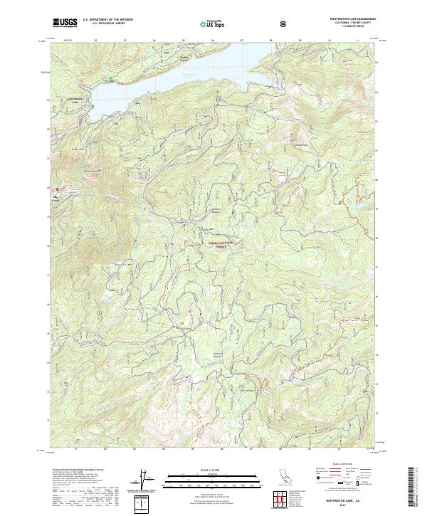
2021 Map of Huntington Lake
USGS Topo · Published 2021About this map
Cedar Crest sits on the northern edge of this high-elevation landscape, where the waters of Huntington Lake meet the steep slopes of the Sierra National Forest. This 2021 survey illustrates the complex topography of the Big Creek Canyon and the surrounding peaks, including Chinese Peak, Tamarack Mtn, and the distinctive Kerckhoff Dome. The map reveals a dense network of forest service trails and roads, such as Tollhouse Rd and the Huntington Shore Trl, which connect seasonal recreation sites and hydroelectric infrastructure. For those researching the local geography, the map traces specific ridgelines like Foster Ridge and high-altitude meadows including Boneyard Meadow and Cutts Meadow, providing a clear record of the modern wilderness boundaries and managed forest lands.
Find a feature on this map
1 named feature on this map. Tap any name to fly to it.
Don’t see what you’re looking for? This feature index may not catch every label — zoom into the map to look around manually.
Map Details
Editions of this 2021 Huntington Lake Map
This is the sole edition of this map. No revisions or reprints were ever made.
Other maps of this area

1904 · Kaiser
USGS Topo · 1:125,000

1947 · Mariposa
USGS Topo · 1:250,000

1948 · Mariposa
USGS Topo · 1:250,000

1953 · Huntington Lake
USGS Topo · 1:62,500

1953 · Shaver Lake
USGS Topo · 1:62,500

1953 · Shuteye Peak
USGS Topo · 1:62,500

1953 · Kaiser Peak
USGS Topo · 1:62,500

1957 · Mariposa
USGS Topo · 1:250,000

1963 · Mariposa
USGS Topo · 1:250,000

1980 · Shaver Lake
USGS Topo · 1:100,000