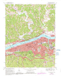
1982 Map of Huntington
USGS Topo · Published 1983About this map
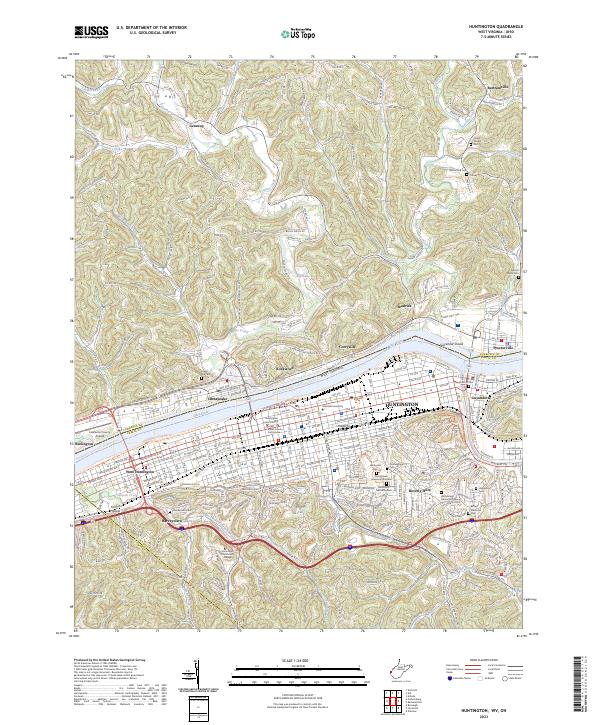
Huntington sits at the nexus of the Ohio, West Virginia, and Kentucky tri-state area, its urban footprint following the sweep of the Ohio River. By the early 1980s, the region's industrial and logistical identity was firmly established along the river banks, anchored by major rail corridors like the Chesapeake and Ohio and Norfolk and Western railroads. To the west, Ashland and Catlettsburg mark the confluence of the Big Sandy River, while to the east, the landscape transitions into the hills of Cabell Co and Wayne Co.
Find a feature on this map
114 named features on this map. Tap any name to fly to it.
Don’t see what you’re looking for? This feature index may not catch every label — zoom into the map to look around manually.
Map Details
Editions of this 1982 Huntington Map
This is the sole edition of this map. No revisions or reprints were ever made.
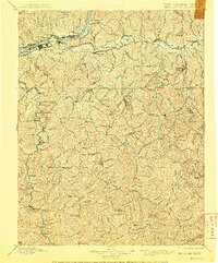
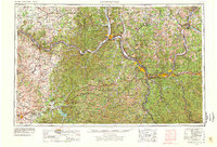
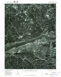
Historical Maps of Huntington Through Time
9 maps found