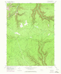
1959 Map of Huntley
USGS Topo · Published 1972About this map
Moshannon State Forest dominates this landscape on the border of Elk and Clearfield counties, revealing a region defined by natural resource extraction and protected public lands. The 1959 survey, updated in the early 1970s, captures an extensive network of energy infrastructure, with numerous Gas Wells and complex pipelines traversing the ridges. This industrial footprint is interspersed with recreational and conservation areas, including the edge of Parker Dam State Park and the expansive State Game Lands No 94.
Find a feature on this map
38 named features on this map. Tap any name to fly to it.
Don’t see what you’re looking for? This feature index may not catch every label — zoom into the map to look around manually.
Map Details
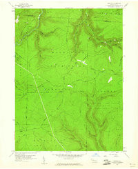
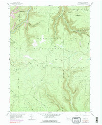
Editions of this 1959 Huntley Map
3 editions found
Other maps of this area

1929 · Clearfield
USGS Topo · 1:48,000

1929 · Penfield
USGS Topo · 1:62,500

1932 · Clearfield
USGS Topo · 1:62,500

1932 · Penfield
USGS Topo · 1:62,500

1941 · Benezette
USGS Topo · 1:62,500

1941 · Ridgway
USGS Topo · 1:62,500

1943 · Benezette
USGS Topo · 1:62,500

1944 · Ridgway
USGS Topo · 1:62,500

1957 · Warren
USGS Topo · 1:250,000

1958 · Warren
USGS Topo · 1:250,000