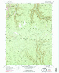
1959 Map of Huntley
USGS Topo · Published 1991About this map
Moshannon State Forest covers a vast portion of this 1959 landscape, where the rugged topography of Clearfield and Elk counties is defined by deep stream incisions and an extensive energy infrastructure. The settlement at Huntley sits at the convergence of Medix Run and several branch runs, serving as a focal point for the region's resource extraction. Numerous Gas Wells and an intricate network of pipelines crisscross the terrain, particularly around the Jack Dent Road and Huntley areas, illustrating the mid-century industrial footprint on these highlands.
Find a feature on this map
44 named features on this map. Tap any name to fly to it.
Don’t see what you’re looking for? This feature index may not catch every label — zoom into the map to look around manually.
Map Details
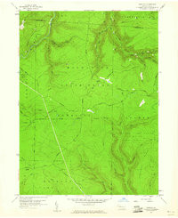
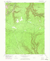
Editions of this 1959 Huntley Map
3 editions found
Other maps of this area

1929 · Clearfield
USGS Topo · 1:48,000

1929 · Penfield
USGS Topo · 1:62,500

1932 · Clearfield
USGS Topo · 1:62,500

1932 · Penfield
USGS Topo · 1:62,500

1941 · Benezette
USGS Topo · 1:62,500

1941 · Ridgway
USGS Topo · 1:62,500

1943 · Benezette
USGS Topo · 1:62,500

1944 · Ridgway
USGS Topo · 1:62,500

1957 · Warren
USGS Topo · 1:250,000

1958 · Warren
USGS Topo · 1:250,000