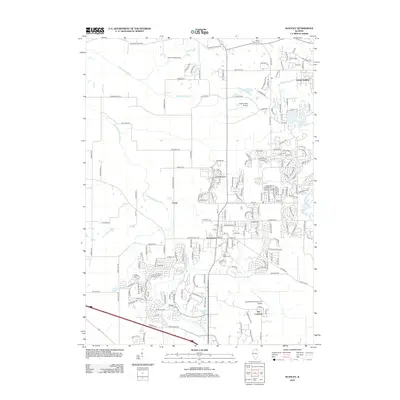
2012 Map of Huntley
USGS Topo · Published 2012About this map
Huntley serves as the focal point of this northern Illinois region, showcasing a landscape where suburban expansion meets rural history. The village is anchored by a central post office and the Saint Marys Cemetery, while the northern reaches include the older Mount Thabor Cemetery near Pleasant Valley Road. This survey documents a transitional era as residential developments like Crystal Gardens and The Landings emerge near established agricultural landmarks and the winding Kishwaukee River. In addition to the village center, the map identifies small clusters like Coyne and unique local sites such as Phyllis Field Airport and Pleasant Valley Camp. The drainage patterns of the South Branch Kishwaukee River and the presence of South Lake illustrate the local topography that has influenced both the historic placement of farmsteads and modern roadway alignment.
Find a feature on this map
195 named features on this map. Tap any name to fly to it.
Don’t see what you’re looking for? This feature index may not catch every label — zoom into the map to look around manually.
Map Details
Editions of this 2012 Huntley Map
This is the sole edition of this map. No revisions or reprints were ever made.
Other maps of this area

1925 · Elgin
USGS Topo · 1:62,500

1926 · Mc Henry
USGS Topo · 1:62,500

1932 · Harvard
USGS Topo · 1:48,000

1937 · Harvard
USGS Topo · 1:62,500

1938 · Genoa
USGS Topo · 1:62,500

1940 · Elgin
USGS Topo · 1:62,500

1944 · McHenry
USGS Topo · 1:62,500

1954 · Rockford
USGS Topo · 1:250,000

1955 · Rockford
USGS Topo · 1:250,000

1958 · Rockford
USGS Topo · 1:250,000