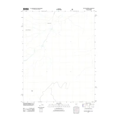
2012 Map of Huntoon Spring
USGS Topo · Published 2012About this map
Huntoon Valley occupies a high-elevation basin where the ephemeral drainage of Huntoon Cr flows between massive mountain ranges. The terrain is defined by the elevation gain into the Excelsior Mountains to the west and the Adobe Hills that dominate the southern reaches of the quadrangle. A primary water source for the area is Huntoon Spring, a critical landmark in this arid landscape. Human passage through this high country is marked by the Nfd 200 Trl, which provides access through the valley floor. The map illustrates a largely unpopulated portion of Mono County, focused on the natural hydrography and topographic extremes that shaped early land use and travel routes in this part of the eastern Sierra region.
Find a feature on this map
6 named features on this map. Tap any name to fly to it.
Don’t see what you’re looking for? This feature index may not catch every label — zoom into the map to look around manually.
Map Details
Editions of this 2012 Huntoon Spring Map
This is the sole edition of this map. No revisions or reprints were ever made.
Other maps of this area

1909 · Hawthorne
USGS Topo · 1:250,000

1911 · Hawthorne
USGS Topo · 1:250,000

1914 · Mt. Morrison
USGS Topo · 1:125,000

1915 · Hawthorne
USGS Topo · 1:250,000

1917 · White Mountain
USGS Topo · 1:125,000

1947 · Mariposa
USGS Topo · 1:250,000

1948 · Walker Lake
USGS Topo · 1:250,000

1948 · Mariposa
USGS Topo · 1:250,000

1957 · Walker Lake
USGS Topo · 1:250,000

1957 · Mariposa
USGS Topo · 1:250,000