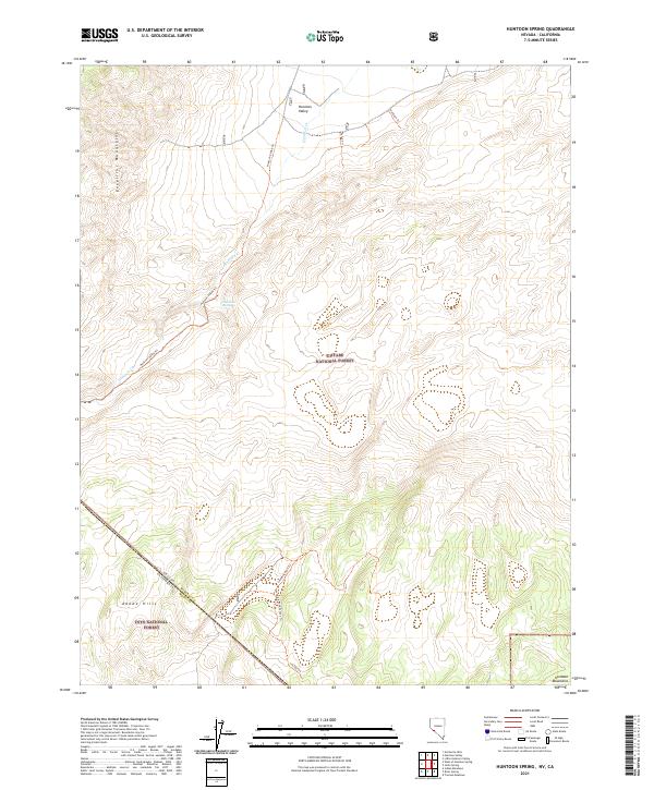
2021 Map of Huntoon Spring
USGS Topo · Published 2021About this map
The Huntoon Valley occupies a high-elevation basin between the Excelsior Mountains and the Huntoon Mountains along the Nevada and California border. This 2021 survey by the U.S. Geological Survey details a remote landscape where water is a critical and scarce resource, centered on the vital Huntoon Spring and the seasonal path of Huntoon Cr. This area is shared between the Toiyabe National Forest and Inyo National Forest, reflecting the complex federal management of the Great Basin's arid ranges.
Find a feature on this map
20 named features on this map. Tap any name to fly to it.
Don’t see what you’re looking for? This feature index may not catch every label — zoom into the map to look around manually.
Map Details
Editions of this 2021 Huntoon Spring Map
This is the sole edition of this map. No revisions or reprints were ever made.
Other maps of this area

1909 · Hawthorne
USGS Topo · 1:250,000

1911 · Hawthorne
USGS Topo · 1:250,000

1914 · Mt. Morrison
USGS Topo · 1:125,000

1915 · Hawthorne
USGS Topo · 1:250,000

1917 · White Mountain
USGS Topo · 1:125,000

1947 · Mariposa
USGS Topo · 1:250,000

1948 · Walker Lake
USGS Topo · 1:250,000

1948 · Mariposa
USGS Topo · 1:250,000

1957 · Walker Lake
USGS Topo · 1:250,000

1957 · Mariposa
USGS Topo · 1:250,000