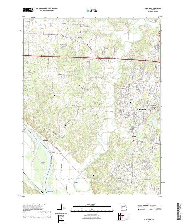
2021 Map of Huntsdale
USGS Topo · Published 2021About this map
Big Manitou Bluffs tower over the Missouri River as it bends through the southwestern portion of this Boone County landscape. The settlement of Huntsdale occupies the riverbank below the bluffs, while to the south, McBaine is situated near McBaine Bend and Tadpole Island. This area is defined by its intricate drainage system, where Perche Creek, Hinkson Cr, and Mill Cr converge as they move toward the Missouri.
Find a feature on this map
188 named features on this map. Tap any name to fly to it.
Don’t see what you’re looking for? This feature index may not catch every label — zoom into the map to look around manually.
Map Details
Editions of this 2021 Huntsdale Map
This is the sole edition of this map. No revisions or reprints were ever made.
Other maps of this area

1886 · Jefferson City
USGS Topo · 1:125,000

1888 · Boonville
USGS Topo · 1:125,000

1890 · Moberly
USGS Topo · 1:125,000

1890 · Glasgow
USGS Topo · 1:125,000

1894 · Jefferson City
USGS Topo · 1:125,000

1917 · Sturgeon
USGS Topo · 1:62,500

1935 · Columbia
USGS Topo · 1:24,000

1940 · Columbia
USGS Topo · 1:24,000

1947 · Jefferson City
USGS Topo · 1:250,000
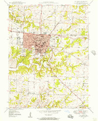
1948 · Columbia
USGS Topo · 1:24,000