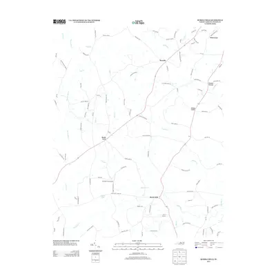
2013 Map of Hurdle Mills
USGS Topo · Published 2013About this map
Hurdle Mills serves as a focal point in this portion of Person County, situated where Bushy Fork Cr and the S Flat River converge. The landscape is defined by a dense network of small watercourses, including Broachs Mill Cr, Double Cr, and Snipe Cr, which historically dictated the placement of early settlements and mills. Local commerce and aviation intersect at the Whitfield Farms Airport, located just north of Whitfield Pond. Small rural communities such as Bushy Fork, Roseville, and Whitt Town are connected by a web of local roads, many bearing long-standing family names like McCullock Loop Rd and Lee Brasher Rd. This 2013 survey illustrates the persistent rural character of the North Carolina Piedmont, where legacy place names like Paynes Tavern and Allens Level continue to mark the geographic identity of the region.
Find a feature on this map
101 named features on this map. Tap any name to fly to it.
Don’t see what you’re looking for? This feature index may not catch every label — zoom into the map to look around manually.
Map Details
Editions of this 2013 Hurdle Mills Map
This is the sole edition of this map. No revisions or reprints were ever made.
Other maps of this area

1943 · Roxboro
USGS Topo · 1:62,500

1951 · Durham North
USGS Topo · 1:62,500

1953 · Greensboro
USGS Topo · 1:250,000

1954 · Greensboro
USGS Topo · 1:250,000

1962 · Greensboro
USGS Topo · 1:250,000

1966 · Greensboro
USGS Topo · 1:250,000

1967 · Cedar Grove
USGS Topo · 1:24,000

1968 · Leasburg
USGS Topo · 1:24,000

1968 · Caldwell
USGS Topo · 1:24,000

1968 · Ridgeville
USGS Topo · 1:24,000