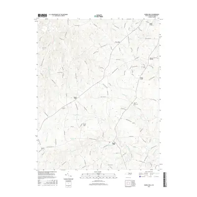
2016 Map of Hurdle Mills
USGS Topo · Published 2016About this map
Hurdle Mills serves as the focal point of this northern Piedmont landscape, where the South Flat River and Byrds Cr converge. The area is characterized by a dense network of family-named roads and rural settlements that reflect generations of local residency in Person County. Historically significant locations such as Paynes Tavern and Allens Level sit alongside numerous religious and ancestral sites, including Mount Zion United Methodist Cem and the Wheelers Church Cem. The terrain is defined by the winding paths of the S Flat River and its tributaries like Bushy Fork Cr, which historically powered local industry. Aviation interest is represented by the Whitfield Farms Airport, while smaller communities like Bushy Fork and Roseville anchor the surrounding agricultural lands. This map captures the enduring rural character of the region, preserving the locations of namesake crossings and remote cemeteries such as Clement Cem.
Find a feature on this map
106 named features on this map. Tap any name to fly to it.
Don’t see what you’re looking for? This feature index may not catch every label — zoom into the map to look around manually.
Map Details
Editions of this 2016 Hurdle Mills Map
This is the sole edition of this map. No revisions or reprints were ever made.
Other maps of this area

1943 · Roxboro
USGS Topo · 1:62,500

1951 · Durham North
USGS Topo · 1:62,500

1953 · Greensboro
USGS Topo · 1:250,000

1954 · Greensboro
USGS Topo · 1:250,000

1962 · Greensboro
USGS Topo · 1:250,000

1966 · Greensboro
USGS Topo · 1:250,000

1967 · Cedar Grove
USGS Topo · 1:24,000

1968 · Leasburg
USGS Topo · 1:24,000

1968 · Caldwell
USGS Topo · 1:24,000

1968 · Ridgeville
USGS Topo · 1:24,000