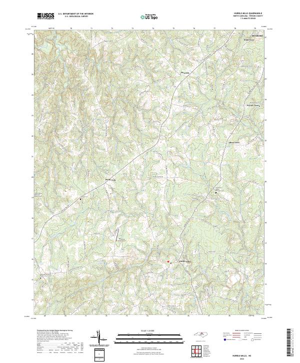
2022 Map of Hurdle Mills
USGS Topo · Published 2022About this map
The southern fork of the S Flat River and the South Flat River drainage basins define this rural landscape in Person County. Centered on the crossroads of Hurdle Mills, the area maintains its agricultural character with a patchwork of farm roads and family-named landmarks like Paynes Tavern and Whitt Town. The map reveals a high density of rural cemeteries and churches, such as the Wheelers Primitive Baptist Church Cem and Mount Zion United Methodist Cem, which serve as vital touchstones for local genealogy. Small-scale aviation is represented by the Whitfield Farms Airport, located just north of Whitfield Pond. From the settlement at Bushy Fork to the rolling terrain near Roseville, the infrastructure remains deeply tied to the natural hydrology of streams like Alderidge Cr and Bushy Fork Cr.
Find a feature on this map
112 named features on this map. Tap any name to fly to it.
Don’t see what you’re looking for? This feature index may not catch every label — zoom into the map to look around manually.
Map Details
Editions of this 2022 Hurdle Mills Map
This is the sole edition of this map. No revisions or reprints were ever made.
Other maps of this area

1943 · Roxboro
USGS Topo · 1:62,500

1951 · Durham North
USGS Topo · 1:62,500

1953 · Greensboro
USGS Topo · 1:250,000

1954 · Greensboro
USGS Topo · 1:250,000

1962 · Greensboro
USGS Topo · 1:250,000

1966 · Greensboro
USGS Topo · 1:250,000

1967 · Cedar Grove
USGS Topo · 1:24,000

1968 · Leasburg
USGS Topo · 1:24,000

1968 · Caldwell
USGS Topo · 1:24,000

1968 · Ridgeville
USGS Topo · 1:24,000