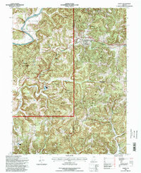
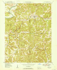
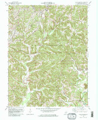
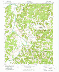
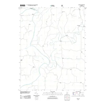
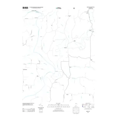
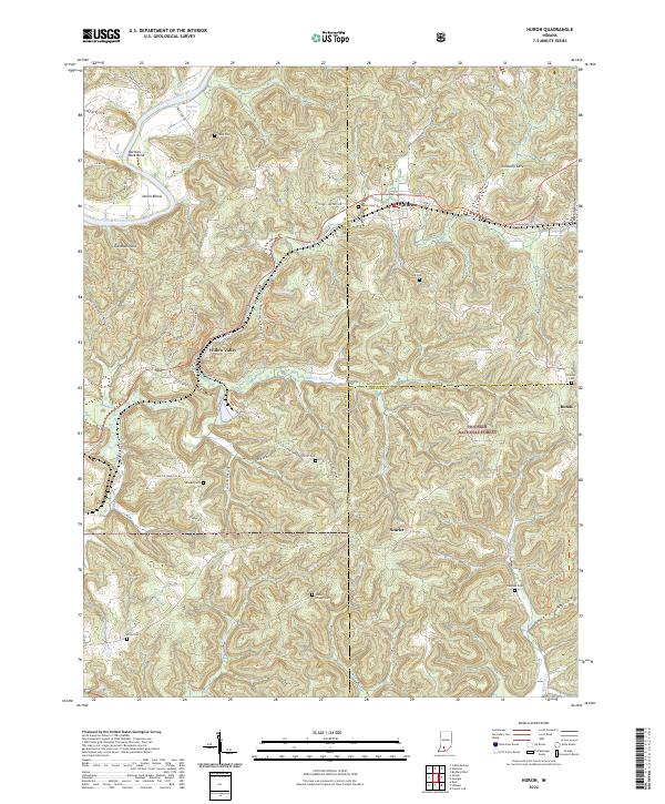
1993 Map of Huron
USGS Topo · Published 2001About this map
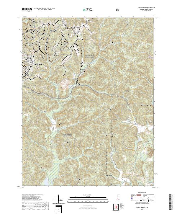
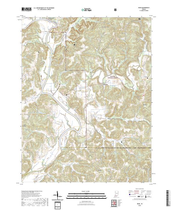
The Baltimore and Ohio railroad corridor serves as the primary artery through this section of the Martin State Forest and Hoosier National Forest. Centered on the settlement of Huron, the landscape is defined by the sharp meanders of the White River, featuring dramatic topographic landmarks like Norman Rock Bend and Devils Elbow. The map captures a rural Indiana community structured around the intersection of the railway and watercourses such as Beaver Creek.
Find a feature on this map
31 named features on this map. Tap any name to fly to it.
Don’t see what you’re looking for? This feature index may not catch every label — zoom into the map to look around manually.
Map Details
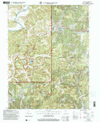
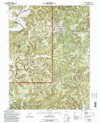
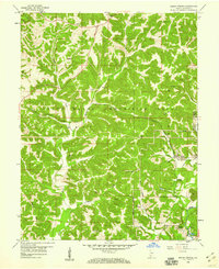
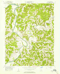
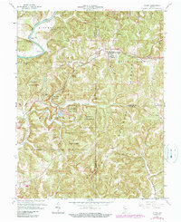
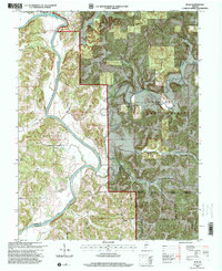
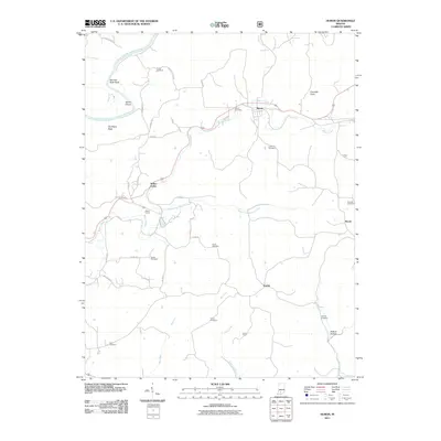
Editions of this 1993 Huron Map
4 editions found
Historical Maps of Bonds Through Time
24 maps found
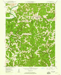
1948 Huron
Martin County, IN
1950 Huron
Martin County, IN
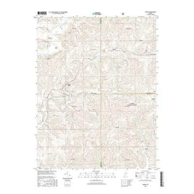
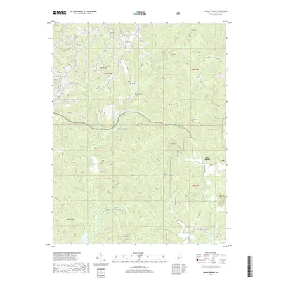
1956 Indian Springs
Martin County, IN
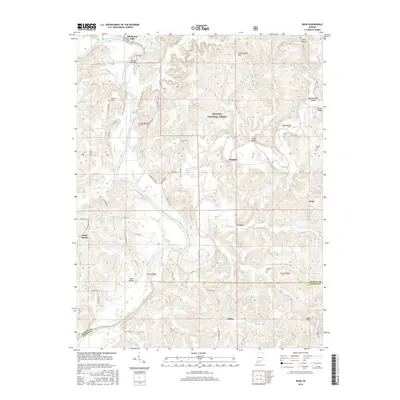
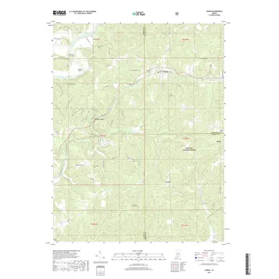
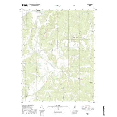
1956 Rusk
Martin County, IN
1965 Huron
Martin County, IN
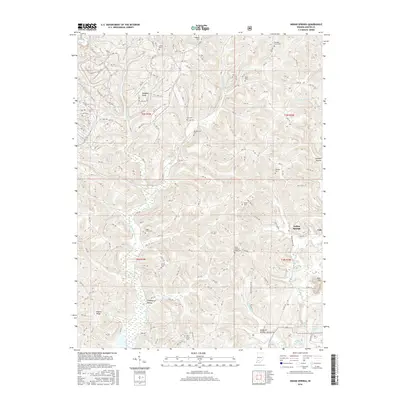
1978 Indian Springs
Martin County, IN
1978 Rusk
Martin County, IN

1993 Huron
Martin County, IN
1993 Rusk
Martin County, IN
2010 Indian Springs
Martin County, IN
2010 Rusk
Martin County, IN
2011 Huron
Martin County, IN
2013 Huron
Martin County, IN
2013 Indian Springs
Martin County, IN
2013 Rusk
Martin County, IN
2016 Huron
Martin County, IN
2016 Indian Springs
Martin County, IN
2016 Rusk
Martin County, IN
2019 Huron
Martin County, IN
2019 Indian Springs
Martin County, IN
2019 Rusk
Martin County, IN
2022 Huron
Martin County, IN
2022 Indian Springs
Martin County, IN
2022 Rusk
Martin County, IN