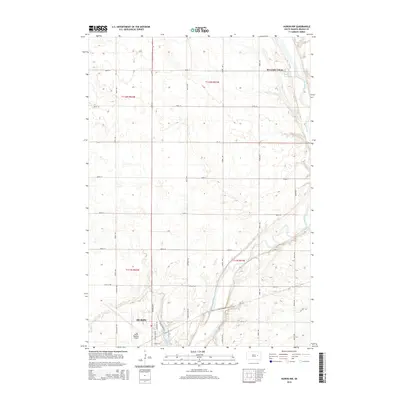
2015 Map of Huron NW
USGS Topo · Published 2015About this map
Huron anchors the southwestern corner of this survey, where the city grid meets the expansive agricultural landscape of Beadle County. The northern reaches of the city are defined by transportation and recreation, featuring the Huron Regional Airport and the waters of Ravine Park Lake. North of the city, the landscape transition is marked by a rigorous section-line road grid, including 200th St and Cr-14, which organize the prairie into productive tracts.
Find a feature on this map
35 named features on this map. Tap any name to fly to it.
Don’t see what you’re looking for? This feature index may not catch every label — zoom into the map to look around manually.
Map Details
Editions of this 2015 Huron NW Map
This is the sole edition of this map. No revisions or reprints were ever made.
Other maps of this area

1895 · Byron
USGS Topo · 1:125,000

1898 · Huron
USGS Topo · 1:125,000

1953 · Huron
USGS Topo · 1:250,000

1954 · Huron
USGS Topo · 1:250,000

1956 · Lake Byron
USGS Topo · 1:24,000

1956 · Lake Byron SE
USGS Topo · 1:24,000

1956 · Hitchcock SE
USGS Topo · 1:24,000

1957 · Cavour
USGS Topo · 1:24,000

1957 · Huron
USGS Topo · 1:24,000

1958 · Huron NW
USGS Topo · 1:24,000