
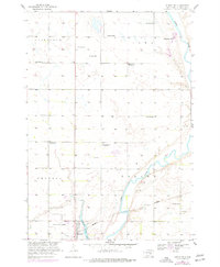
1958 Map of Huron NW
USGS Topo · Published 1959About this map
The James River meanders through the central valley of this Beadle County landscape, serving as a primary geographic anchor for the region's agricultural development. During the late 1950s, the rural education system was in a state of visible transition, evidenced by the presence of active sites like Whittier Sch and School No 1 alongside several decommissioned facilities such as Edison Sch, Morrill Sch, and Lindbergh Sch. These abandoned schoolhouses mark a shifting social geography as smaller districts likely consolidated.
Find a feature on this map
21 named features on this map. Tap any name to fly to it.
Don’t see what you’re looking for? This feature index may not catch every label — zoom into the map to look around manually.
Map Details
Editions of this 1958 Huron NW Map
2 editions found
Other maps of this area

1895 · Byron
USGS Topo · 1:125,000

1898 · Huron
USGS Topo · 1:125,000

1953 · Huron
USGS Topo · 1:250,000

1954 · Huron
USGS Topo · 1:250,000

1956 · Lake Byron
USGS Topo · 1:24,000

1956 · Lake Byron SE
USGS Topo · 1:24,000

1956 · Hitchcock SE
USGS Topo · 1:24,000

1957 · Cavour
USGS Topo · 1:24,000

1957 · Huron
USGS Topo · 1:24,000
1958 · Huron NE
USGS Topo · 1:24,000