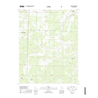
2017 Map of Hurricane
USGS Topo · Published 2017About this map
The Mark Twain National Forest dominates the western reaches of this landscape, where the foothills of the Saint Francois Mountains begin to rise. Small settlements and crossroads define the human geography, including Hurricane, Shrum, and Tallent, each serving as focal points for the surrounding rural homesteads. The terrain is deeply incised by a dense network of watercourses, with Crooked Creek and Hurricane Creek carving through the hills, creating a landscape of narrow ridges and hollows such as Gum Hollow.
Find a feature on this map
66 named features on this map. Tap any name to fly to it.
Don’t see what you’re looking for? This feature index may not catch every label — zoom into the map to look around manually.
Map Details
Editions of this 2017 Hurricane Map
This is the sole edition of this map. No revisions or reprints were ever made.
Other maps of this area

1910 · Higdon
USGS Topo · 1:62,500

1923 · Perryville
USGS Topo · 1:62,500

1924 · Perryville
USGS Topo · 1:62,500

1933 · Marble Hill
USGS Topo · 1:62,500

1933 · Marquand
USGS Topo · 1:62,500

1937 · Marble Hill
USGS Topo · 1:62,500

1938 · Marquand
USGS Topo · 1:62,500

1949 · Paducah
USGS Topo · 1:250,000

1949 · Rolla
USGS Topo · 1:250,000

1950 · Paducah
USGS Topo · 1:250,000