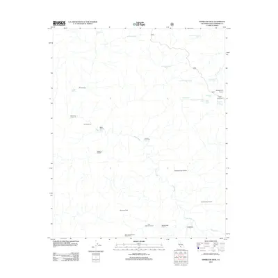
2012 Map of Hurricane Deck
USGS Topo · Published 2012About this map
Hurricane Deck stands as the central landmark of this landscape, a prominent ridge that overlooks a complex system of deep drainages. The Sisquoc River meanders through the southern portion of the territory, serving as a primary water source for the surrounding backcountry. This 2012 survey illustrates a region defined by its network of canyons and springs, where water management is critical for human activity. The map identifies several remote outposts, including the Happy Hunting Ground Campground and Lonnie Davis Campground, which are connected by forest routes such as 32s13. High plateaus like Montgomery Potrero and features such as Foresters Leap Canyon indicate the dramatic elevation changes characteristic of this part of Santa Barbara County. The distribution of numerous named springs, including Ernest Blanco Spring and Live Oak Spring, highlights the sparse but vital water points that support the area's specialized mountain infrastructure.
Find a feature on this map
31 named features on this map. Tap any name to fly to it.
Don’t see what you’re looking for? This feature index may not catch every label — zoom into the map to look around manually.
Map Details
Editions of this 2012 Hurricane Deck Map
This is the sole edition of this map. No revisions or reprints were ever made.
Other maps of this area

1902 · Santa Ynez
USGS Topo · 1:125,000

1905 · Santa Ynez
USGS Topo · 1:125,000

1941 · San Rafael Mtn.
USGS Topo · 1:62,500

1941 · McPherson Peak
USGS Topo · 1:62,500

1942 · San Rafael Mtn.
USGS Topo · 1:62,500

1943 · Big Pine Mountain
USGS Topo · 1:31,680

1943 · San Rafael Mtn.
USGS Topo · 1:62,500

1943 · McPherson Peak
USGS Topo · 1:62,500

1943 · Cuyama Ranch
USGS Topo · 1:31,680
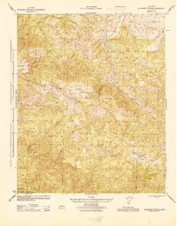
1944 · Salisbury Potrero
USGS Topo · 1:31,680