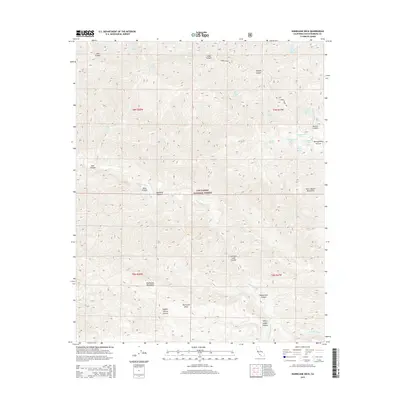
2015 Map of Hurricane Deck
USGS Topo · Published 2015About this map
The Hurricane Deck plateau dominates this section of the Los Padres National Forest, marking a sharp divide between the Sierra Madre Mountains to the north and the San Rafael Mountains to the south. This 2015 survey reveals an intricate network of seasonal drainage and perennial water sources, including Montgomery Spring and Ernest Blanco Spring. The Sisquoc River carves through the central portion of the map, joined by the South Fork Sisquoc River near White Ledge Canyon. Human infrastructure is sparse, defined primarily by the ridge-running Sierra Madre Rd and high-elevation clearings like Montgomery Potrero. This map provides a detailed view of the complex hydrology of the Santa Barbara backcountry, from the depths of Foresters Leap Canyon to the heights of the surrounding ranges.
Find a feature on this map
36 named features on this map. Tap any name to fly to it.
Don’t see what you’re looking for? This feature index may not catch every label — zoom into the map to look around manually.
Map Details
Editions of this 2015 Hurricane Deck Map
This is the sole edition of this map. No revisions or reprints were ever made.
Other maps of this area

1902 · Santa Ynez
USGS Topo · 1:125,000

1905 · Santa Ynez
USGS Topo · 1:125,000

1941 · San Rafael Mtn.
USGS Topo · 1:62,500

1941 · McPherson Peak
USGS Topo · 1:62,500

1942 · San Rafael Mtn.
USGS Topo · 1:62,500

1943 · Big Pine Mountain
USGS Topo · 1:31,680

1943 · San Rafael Mtn.
USGS Topo · 1:62,500

1943 · McPherson Peak
USGS Topo · 1:62,500

1943 · Cuyama Ranch
USGS Topo · 1:31,680
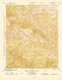
1944 · Salisbury Potrero
USGS Topo · 1:31,680