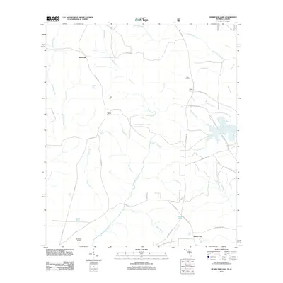
2011 Map of Hurricane Lake
USGS Topo · Published 2011About this map
Hurricane Lake and the surrounding network of creek branches define the landscape of northern Okaloosa County in this 2011 survey. The terrain is characterized by a dense hydrological system, where Sweetwater Creek and Beaver Creek drain the timbered lands south of the Alabama border. Small rural settlements like Belandville, Santa Maria, and Rock Creek are scattered along a network of forest roads, reflecting the region's sparse population and reliance on the Blackwater River watershed.
Find a feature on this map
52 named features on this map. Tap any name to fly to it.
Don’t see what you’re looking for? This feature index may not catch every label — zoom into the map to look around manually.
Map Details
Editions of this 2011 Hurricane Lake Map
This is the sole edition of this map. No revisions or reprints were ever made.
Other maps of this area

1948 · Munson
USGS Topo · 1:62,500

1949 · Crestview
USGS Topo · 1:62,500

1950 · Munson
USGS Topo · 1:62,500

1951 · Crestview
USGS Topo · 1:62,500

1953 · Andalusia
USGS Topo · 1:250,000

1957 · Andalusia
USGS Topo · 1:250,000

1957 · Pensacola
USGS Topo · 1:250,000

1959 · Pensacola
USGS Topo · 1:250,000

1960 · Pensacola
USGS Topo · 1:250,000

1971 · Bradley
USGS Topo · 1:24,000