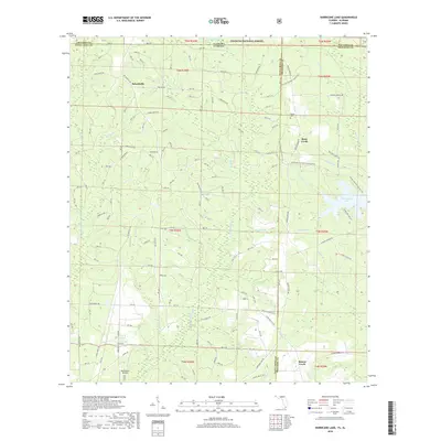
2018 Map of Hurricane Lake
USGS Topo · Published 2018About this map
The Conecuh National Forest stretches across the northern boundary of this 2018 survey, marking the interstate transition between Alabama and Florida. This heavily forested landscape is defined by the complex drainage systems of Sweetwater Creek and Big Juniper Creek, which feed into numerous smaller tributaries like Dogwood Br and Red Wash Br. The map shows a landscape dominated by timber and conservation, where small settlements like Belandville and Rock Creek are connected by a network of forest roads and trails.
Find a feature on this map
63 named features on this map. Tap any name to fly to it.
Don’t see what you’re looking for? This feature index may not catch every label — zoom into the map to look around manually.
Map Details
Editions of this 2018 Hurricane Lake Map
This is the sole edition of this map. No revisions or reprints were ever made.
Other maps of this area

1948 · Munson
USGS Topo · 1:62,500

1949 · Crestview
USGS Topo · 1:62,500

1950 · Munson
USGS Topo · 1:62,500

1951 · Crestview
USGS Topo · 1:62,500

1953 · Andalusia
USGS Topo · 1:250,000

1957 · Andalusia
USGS Topo · 1:250,000

1957 · Pensacola
USGS Topo · 1:250,000

1959 · Pensacola
USGS Topo · 1:250,000

1960 · Pensacola
USGS Topo · 1:250,000

1971 · Bradley
USGS Topo · 1:24,000